Esri Adds Airbus Global Elevation Data to Online Maps
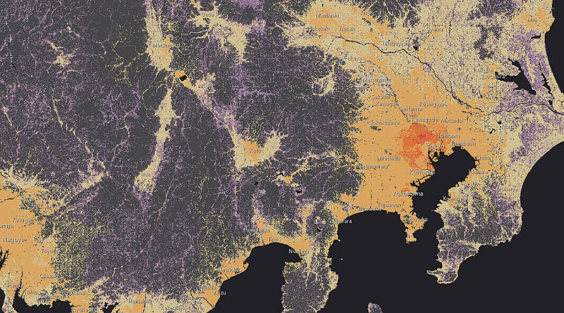
Image of the coast of Japan from ArcGIS. Photo: Esri.
Esri announced that Airbus Defence and Space WorldDEM4Ortho elevation data will soon become part of the growing ArcGIS Online Living Atlas of the World.
Covering the entire Earth’s land surface, this elevation model ensures that imagery is properly calibrated to geographic standards on a global scale. According to Esri, this data will be available for online end-user applications and developers creating apps with a specific need for elevation information. Navigation systems, for instance, can use 3D road data to give drivers better estimates of fuel costs based on the terrain.
The applications for these new elevation layers include analytics like slope, aspect, rugosity, watershed delineation, and visibility studies. The data will also be used to improve basemap cartography with multidirectional hillshading and better 3D views.
“One important aspect of this new dataset is that it standardizes the scale of imagery, removing distortions from satellite photographs such as perspective and tilt. This improves accuracy in any kind of geographic measurement,” said Sean Breyer, Esri program manager for ArcGIS content.
This new Airbus data will be added to the more than 5,000 maps available to more than 4 million users of the Esri platform worldwide, and included in Esri’s existing multiple elevation layers.