Harris Delivers Meteorological Imager for South Korean Satellite
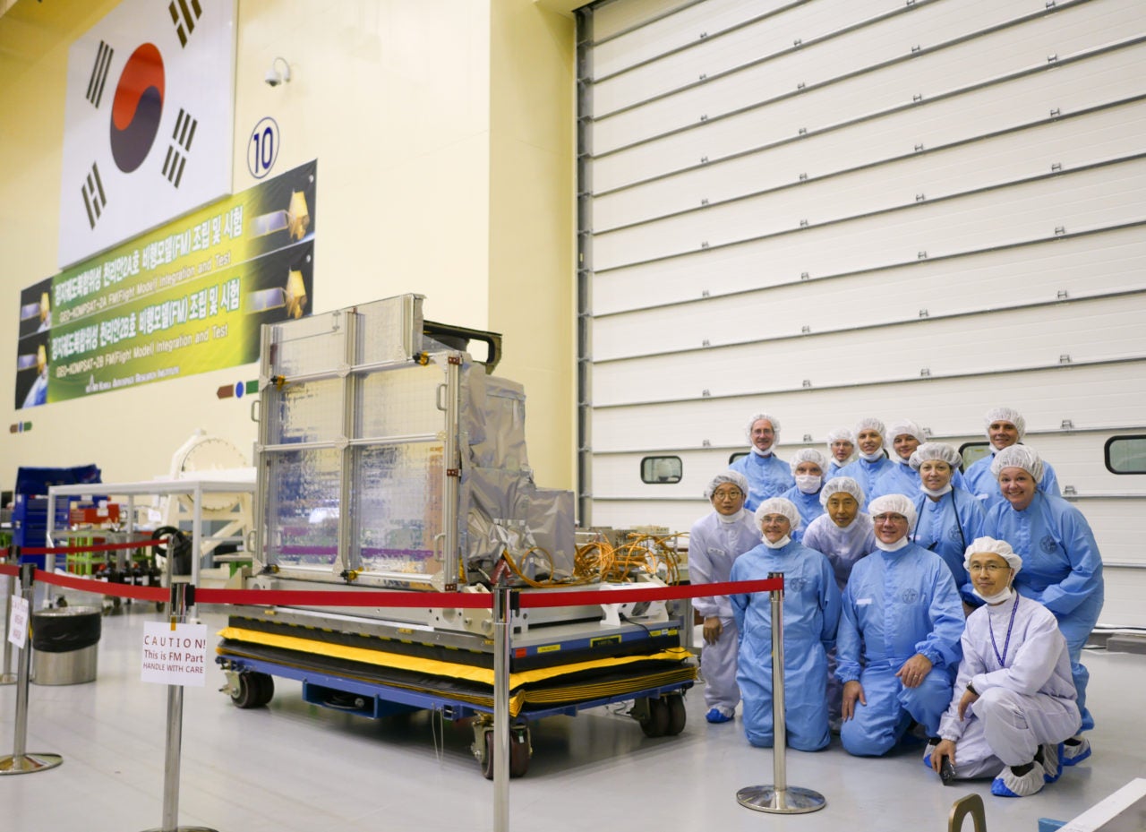
Korea Aerospace Research Institute (KARI) and Harris Corporation employees pose with the AMI. Photo: Business Wire.
Harris Corporation has delivered a digital weather satellite instrument to the Korea Aerospace Research Institute (KARI) that will help forecasters safeguard people in the region from typhoons and other severe weather. KARI will integrate the Harris-built Advanced Meteorological Imager (AMI) into the next-generation Geo-Kompsat 2A weather satellite, scheduled to launch in 2018.
According to Harris, AMI will deliver images with three times more data and four times the resolution at refresh rates five times faster than currently available in the region.
“More detailed information about clouds, moisture and water vapor will make it easier to track the formation of storms. The imager can also distinguish between volcanic ash, smoke and dust, which can impact airlines by causing flight delays and cancellations,” said Eric Webster, vice president and general manager of Harris Environmental Solutions.
The AMI is based on the advanced baseline imager built for the U.S. National Oceanic and Atmospheric Administration’s (NOAA) Geostationary Operational Environmental Satellite 16 (GOES 16). GOES 16 launched aboard a United Launch Alliance (ULA) Atlas 5 rocket in November 2016. NOAA stated it is performing well and providing significantly increased capabilities to the National Weather Service. The data coming from the instrument will be used operationally beginning this fall. Two other advanced imagers are in orbit on Japan’s Himawari 8 and Himawari 9 weather satellites.