Capella Debuts Open-Access Program for SAR Data
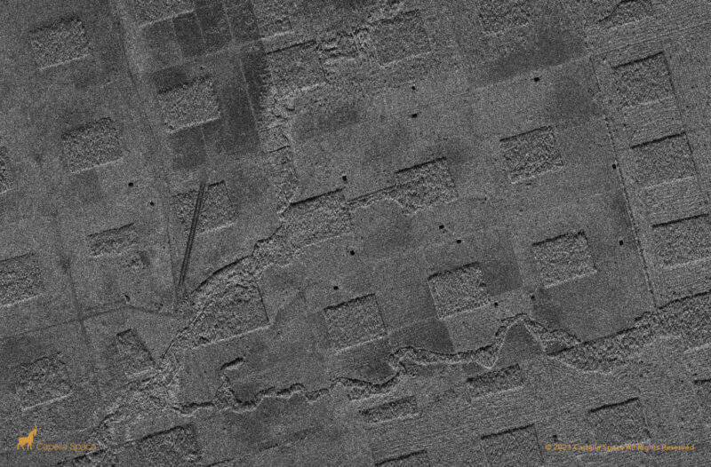
SAR imagery of Amazon Deforestation, Luna Camba, Santa Cruz, Bolivia. Photo: Capella Space
Capella Space has launched its Open Data Program to make its Synthetic Aperture Radar (SAR) data publicly accessible, the company announced Tuesday.
This program makes SAR data — which can see through clouds and darkness — available to researchers, nonprofits, developers and disaster response organizations.
The available dataset is 60 scenes, representing every continent and agriculture, energy, infrastructure, maritime, environmental, and natural disaster use cases. It also includes access to phase and amplitude historical data across all of Capella’s SAR imagery products — SLC, GEO, GEC, and SICD.
Jason Brown, community enablement engineer for Capella Space, wrote in a blog post about the program that it is intended to open up access to this type of data to people who are developing geospatial insights and algorithms. In the past, this type of data has only been available to specialized governments and research intuitions.
“Capella is intent on encouraging and fostering SAR use in the earth observation community, particularly among those who haven’t worked with imaging radar in the past,” Brown wrote.