The Duke of Edinburgh’s Award Selects Mapyx as Tracking Partner
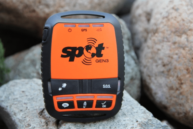
Spot Gen3 tracker. Photo: Indigosat.
The Duke of Edinburgh’s Award (DofE) Charity has signed a new three-year exclusive contract with Mapyx, a Globalstar value added reseller, to provide tracking using the Spot Gen3 satellite tracker.
Every year, more than 300,000 young people take part in DofE expeditions across the United Kingdom countryside. With the combination of Spot Gen3 devices and Mapyx’s mapping and tracking solution, leaders can track the location of each expedition group of five to seven participants, while each group can send standard messages and request help whenever required.
With hundreds of U.K. schools already using its solution, Mapyx tracks more than 10,000 young people each year, the company stated. It also provides satellite tracking and SOS for school trips to regions of the world with unreliable mobile communications including the Himalayas and Mount Kilimanjaro.
According to Globalstar, the Mapyx and Spot solution gives organizers a complete picture of each group’s journey and location, meaning staff no longer have to waste hours waiting for groups to arrive at checkpoints or worrying about their safety. Staff can maintain their distance while still having an overview of the participants’ progress.
SPOT Gen3 allows DofE participants to send pre-programmed messages to expedition organizers, for example, letting them know they have arrived at a checkpoint; are taking a break; or require help. If the worst should happen, the participants can press the one-touch SOS button to send their GPS location to initiate emergency response procedures. Mapyx then works with the International Emergency Response Coordination Centre (IERCC) and, if required, UK Mission Control Centre (UKMCC) and Maritime Coastguard Agency (MCA) to manage the emergency response.
Mapyx offers a search management, control system and tracking interface that uses Ordnance Survey maps, aerial imagery and building plans. Mapyx also provides extra local terrain conditions and local details such as landmarks that can provide valuable help in a rescue situation.