UNITAR-UNOSAT, Radiant Earth Partner for New EO Applications

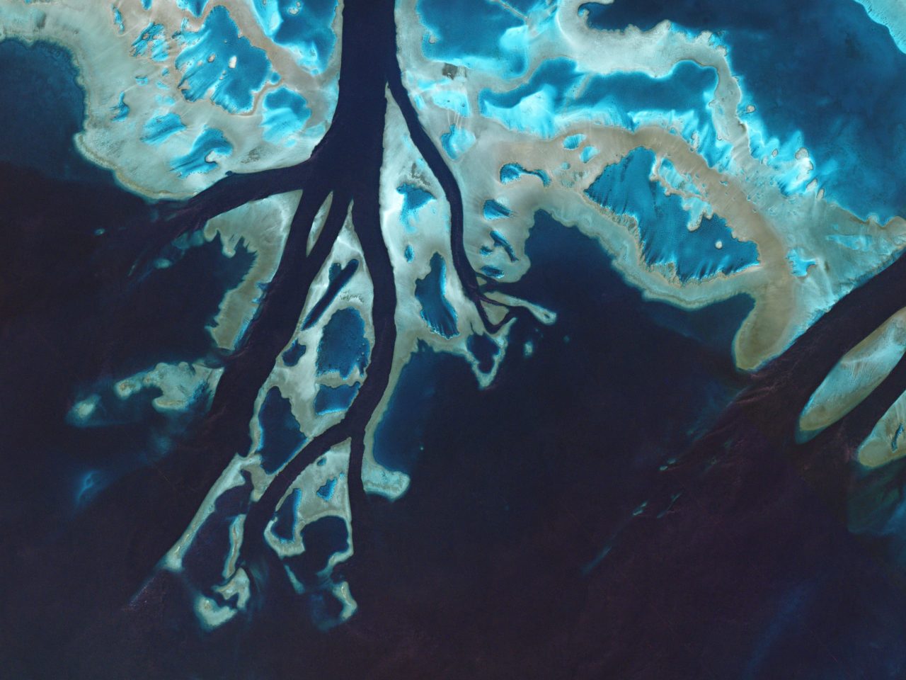
Tidal channels cut through parts of the Great Barrier Reef. Photo: Planet.
The United Nations Institute for Training and Research (UNITAR) through its Operational Satellite Applications Program (UNOSAT), and Radiant.Earth have agreed to explore new Earth Observation (EO) data innovations supporting humanitarian disaster management, global health, climate change, sustainable water management and cultural heritage. With Radiant.Earth’s capacity for image processing, and UNOSAT’s experience in satellite imagery analysis and capacity development, the two entities will collaborate to make data and solutions widely available to the global development community for overall support of the United Nation’s Sustainable Development Goals.
The cooperation will focus on joint activities to raise awareness about the benefits of EO at the local level, automate analysis, and provide capacity building activities on the use of EO data for the global development community.
“UNOSAT expertise in rapid mapping combined with our shared mission to build the capacity of governments and non-profits in using satellite imagery for disaster situations makes this partnership quite powerful. Our alliance can help strengthen the resiliency in vulnerable regions to deal with climate change, displacements, food security, among many other global challenges,” says Anne Hale Miglarese, Chief Executive Officer (CEO) of Radiant.Earth.