Airbus Partners with TerraNIS ARTAL Technologies on Expanding Satellite Imagery Market
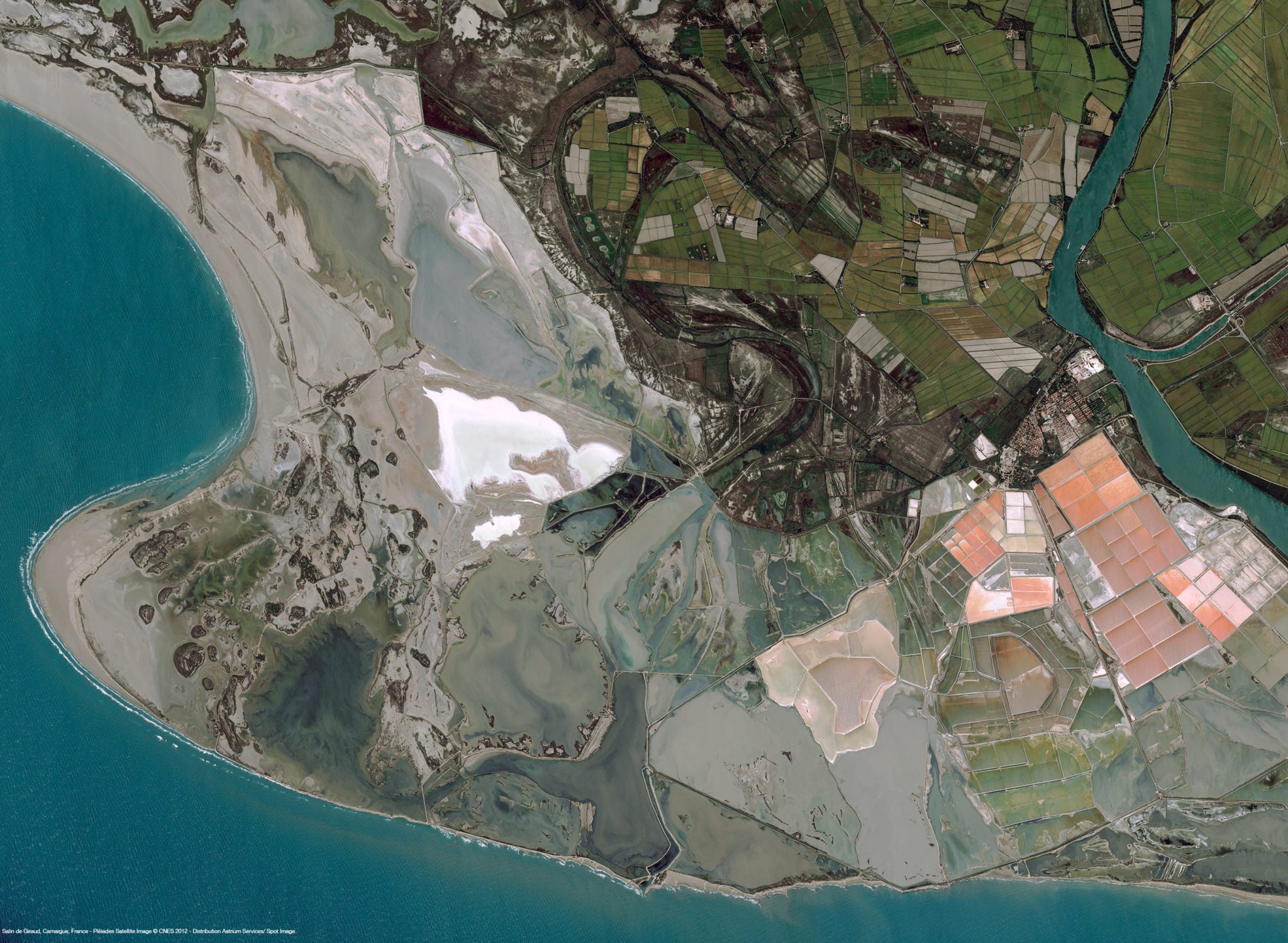
Pléiades Satellite Image – Salin-de-Giraud, France. Photo: CNES 2012, Distribution Airbus DS / Spot Image
[Via Satellite 01-15-2015] Airbus Defence and Space has partnered with the geo-information services company TerraNIS and IT consulting and services company Artal Technologies on furthering the use satellite imagery services by customers in France and worldwide.
TerraNIS specializes in developing and marketing geo-information services for agriculture, environment and land management. The company also consults users of Earth observation-based technologies. Artal Technologies has expertise in the architecture of software infrastructures for industrial fields such as aeronautics, space and defense.
“Thanks to the ‘Eugenius’ (European Group of Enterprises for a Network of Information Using Space) initiative that we have just launched and are coordinating, we will be setting up a network of European SMEs (small and medium- sized enterprises) that, each in their own region, will be providing these cutting-edge services, using the same technical platform and sharing a common catalogue of products and services,” said Marc Tondriaux, CEO of TerraNIS.