National Geographic to use Imaging Tools on ISS
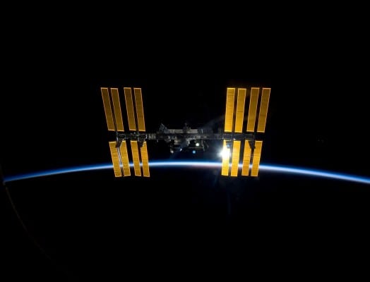
The International Space Station. Photo: CASIS/National Geographic
[Via Satellite 09-29-2014] National Geographic, in partnership with the Center for the Advancement of Science in Space (CASIS) intends to develop new imagery from the International Space Station (ISS) for educational purposes. The interest demonstrated by National Geographic and others has prompted CASIS to expand the “Good Earth” imaging suite to encompass hyperspectral sensors, Synthetic Aperture Radar (SAR) and other high-tech sensors.
According to CASIS, the imagers will assist in humanitarian relief, country development and disaster planning and mitigation among other projects. The ISS will also be used as a platform for prototype technology. CASIS has a partnership with the United Nations Operational Satellite Applications Program (UNOSAT) to place a next-generation hyperspectral imager on the orbiting laboratory. Together, National Geographic and CASIS will collaborate on ways to highlight scientific discoveries from the ISS.