World Bank Taps DLR for Satellite Data on Solar Power
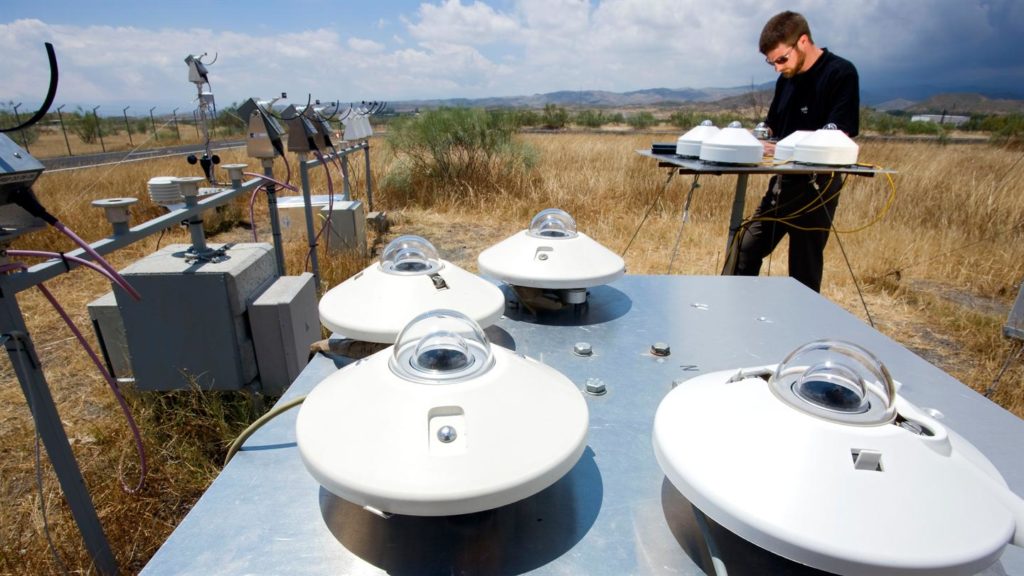
DLR solar study ground equipment. Photo: DLR
[Via Satellite 10-21-2014] The World Bank has reached out to the German Aerospace Center (DLR) to map Pakistan’s potential for solar energy. The agency will use 15 years of satellite imagery data, complemented by ground measurements to identify the optimum locations for solar power generation.
DLR will lead a team effort with spin-off company CSP Services, Netherland-based Ecofys, and PITCO in Pakistan to study the satellite imagery and associated data, followed by a two year study with ground sites at nine locations to measure local solar radiation. The Systems Analysis and Technology Assessment Department of the DLR Institute of Technical Thermodynamics has been requested to aid the German Remote Sensing Data Center and the DLR Institute of Atmospheric Physics in the analysis.
Twelve countries have applied to the Energy Sector Management Assistance Program (ESMAP), which funds renewable energy resource mapping. Other clean alternative energy sources such as wind, biomass and hydropower will be evaluated as part of the initiative.