University of Miami Continues to Rely on SPOT for Oceanic Flow Study
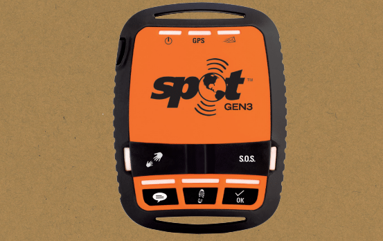
Globalstar’s Spot Gen3 satellite device. Photo: Globalstar
Globalstar announced that the University of Miami (UM) Rosenstiel School of Marine and Atmospheric Science will deploy 550 Spot Trace satellite trackers in its continued research expedition with the Consortium for Advanced Research on Transport of Hydrocarbon in the Environment (CARTHE), which is dedicated to forecasting the fate of oil dispersed into the environment to help inform and guide response teams. This research is an extension of an ongoing project that launched in 2012 after the BP oil spill to monitor how pollutants behave in normal and emergency conditions.
Using satellite technology, Spot devices allow users to communicate from remote locations around the globe, transmitting messages and Global Positioning System (GPS) coordinates. UM will use Spot technology to calculate the speed and path of currents, and combine collected information with previous data to develop interconnected modeling systems. The previous study, executed in 2016, collected over 11 million data points.
CARTHE research is broad reaching, providing data on the ocean surface for navigation, energy generation, drilling and climate modeling. The upcoming study will launch near the Louisiana coastline with the goal of exploring why the area was hit particularly hard by the Deepwater Horizon oil spill.