Wildfire at Vandenberg Air Force Base Coming Under Control
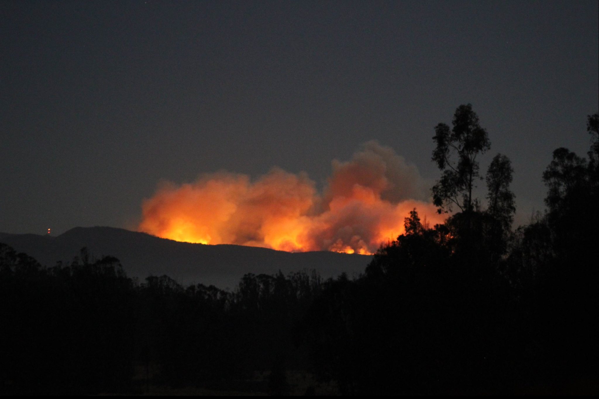
Canyon fire, Sept. 18, Vandenberg Air Force Base (AFB), California. Photo: Vandenberg AFB.
[Via Satellite 09-21-2016] Fire officials at Vandenberg Air Force Base in California reported as of 11:00 p.m. Pacific Standard Time (PST) on Sept. 20th that the boundary of the wildfire that delayed the launch of DigitalGlobe’s WorldView 4 satellite is now relatively stable. The fire continues to burn along portions of the southeast ridgelines, however fire teams assess these are not likely to spread beyond containment lines.
More than 1,000 firefighters from more than 50 agencies have battled against the wildfire on Vandenberg’s South Base that began September 17. Officials estimated yesterday that the Canyon Fire is currently 12,000 acres and 45 percent contained.
The Air Force plans to have a specially equipped aircraft survey the fire boundary overnight tonight to determine its size and location. Using infrared heat detection, the aircraft will gather data that is used to build a map of the fire. Fire officials are hopeful the flight will show gains made over the course of the day.
Weather forecasts indicate that winds tomorrow will blow to the northwest, which will likely aid firefighting efforts by pushing the fire toward areas that have already burned. Over the course of the day tomorrow, fire crews will concentrate their efforts from the northwest portion of the fire area in order to stem the fire’s spread in that direction, and to provide additional protection for the base’s space launch complexes.
Despite the progress, fire officials caution that hot spots will likely linger for several days. With increased winds expected tomorrow, these hot spots will require monitoring to ensure that no new fires ignite.