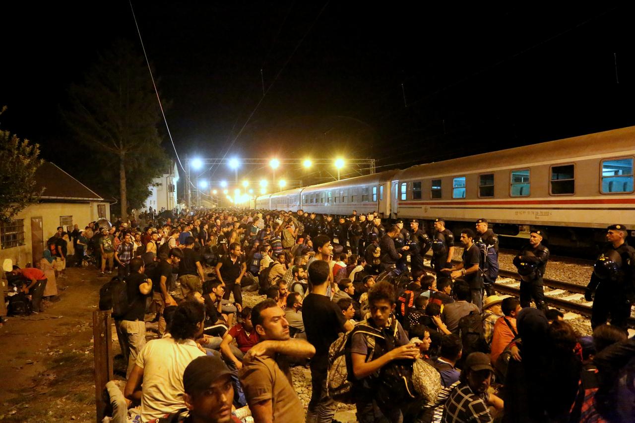

The global migration crisis is now headline news every day. With desperate people fleeing conflict and poverty in record numbers, the scale of human displacement has not been seen since the World War II. As of October 2015, around 600,000 people had crossed the Mediterranean Sea to Europe in 2015 — with over 3,000 reported deaths — and the numbers keep growing.
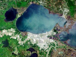
Satellite imagery provides unique global oversight and monitoring capability, from large scale mapping to near real-time tracking of boats and people movements. Imagery has been used by non-governmental organizations (NGOs) and UN agencies to identify camps, monitor refugee population growth and movement, plan humanitarian responses, and report on crises.
Explore the December 2015 Issue
Check out more from this issue and find your next story to read.
At the other end of the scale from Earth observation are the personal and handheld satellite communication devices. These could enable individual migrants to communicate their location, navigate, or even to communicate with relatives.
Satellite operators, manufacturers and service companies can contribute to addressing the current migration crisis in very practical and immediate ways — and this should be high on their list of priorities. VS
Joanne Wheeler is a Partner at Olswang.